
Aaron Knochel and Dickie Selfe
We've built three primary components of the "Spaces of the Hilltop"
site for readers and viewers to explore. While linear documents
predominate, they describe an unexpected and often surprising project.
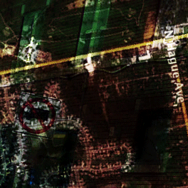
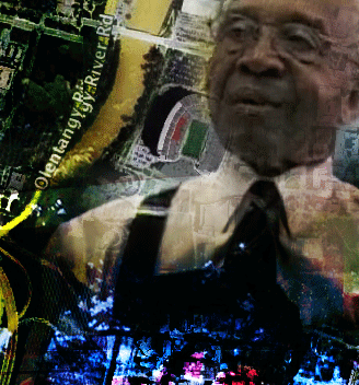
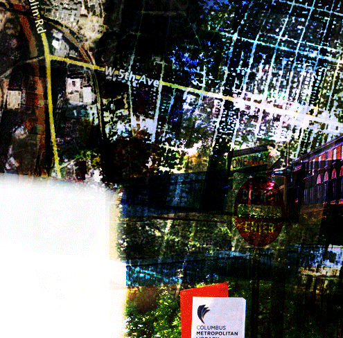
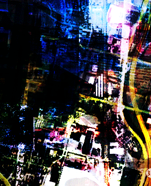
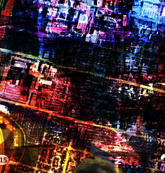
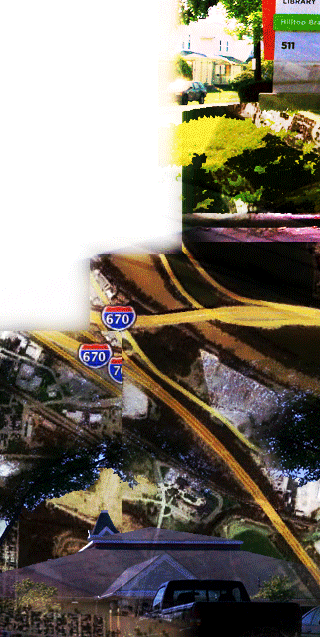
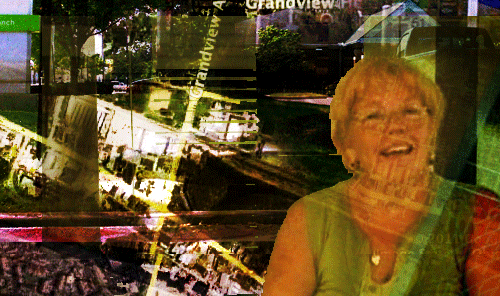
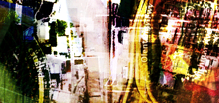
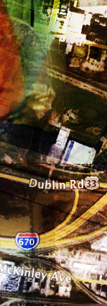
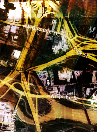
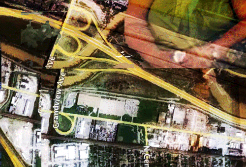
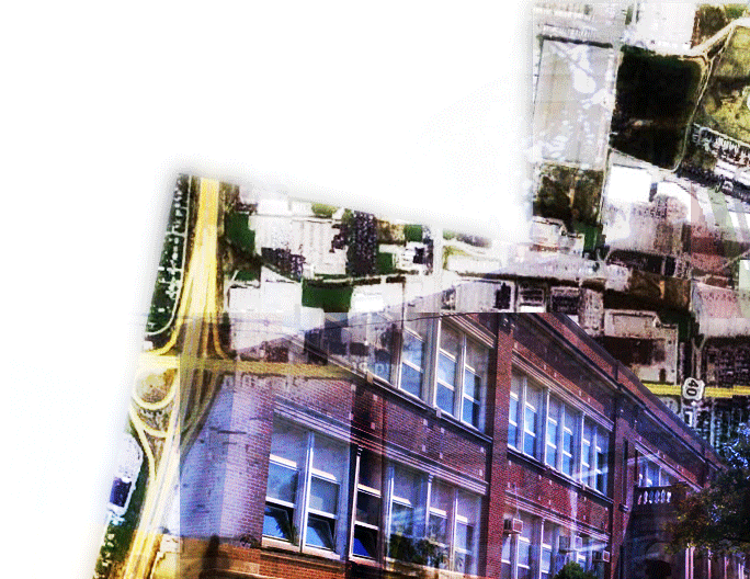
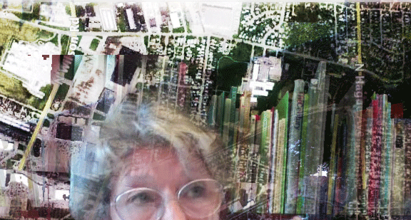
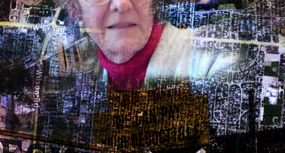
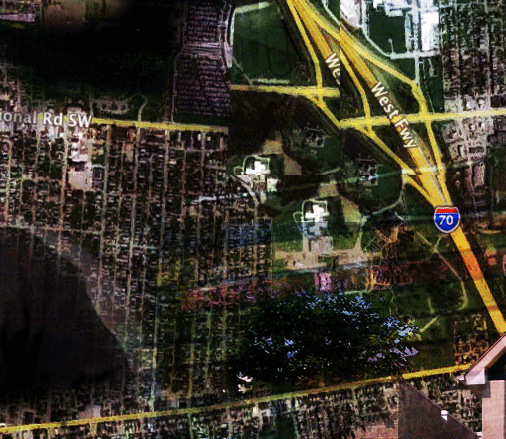
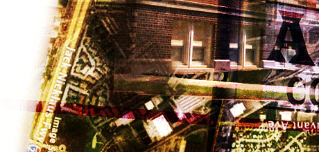
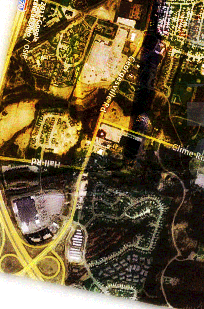
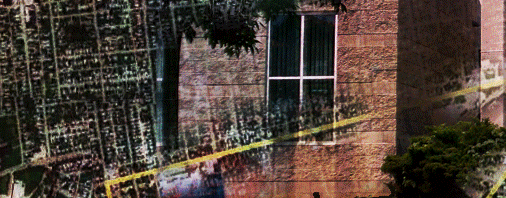
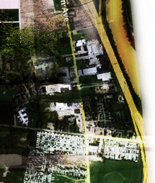
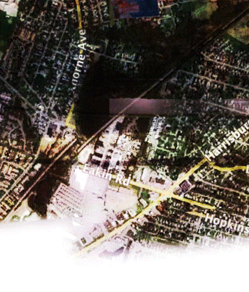
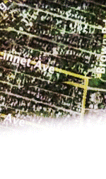
The mapping imagery of the web interface is an attempt to illustrate
the surprising element of the Hilltop project. The map is not
"accurate." It shows real streets and highways in, around, and
in-between the Ohio State University and the Hilltop community, but it is not
intended to provide directions. Instead the map is explored through the
web interface as a metaphor for the heterotopic spaces of the Hilltop:
spaces of real geographies with alternative voices and local histories.
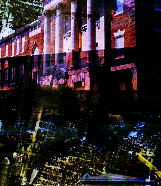
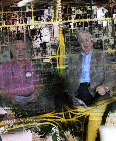
A map may show a "place" (Michel de Certeau, 1988), fixed and accurate, but
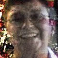
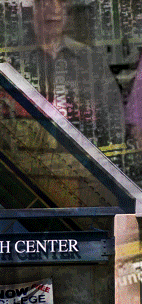
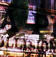
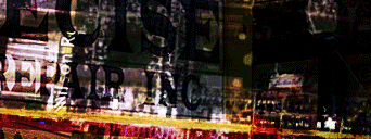
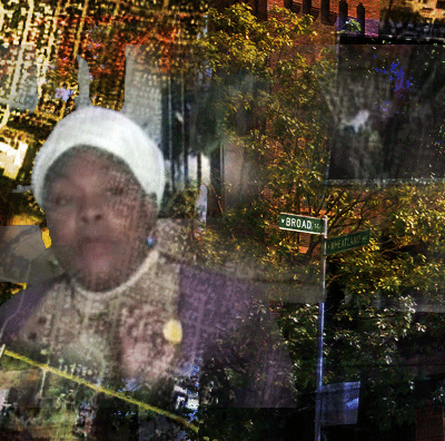
our map aims to show a shifting, morphing space through the layers of
faces, buildings, and satellite images that begin to visualize the
spaces of the Hilltop.
Similar to the many spaces of the Hilltop, the web interface tells the
stories of the Hilltop project through different forms: streaming
videos and an article more typical of academic writing. The article is available to
navigate in a linear fashion, and a list of the streaming videos is also available.
As you read, sample the Hilltop stories and imagine what "work" the
storytellers are accomplishing with their narratives.
For a "nonlinear" experience, use the graphical map that extends to the right and below and trace some spaces of the Hilltop as your finger
might trace routes on a map. Click on links that will allow you to read
sections of the essay and explore the videos as they are juxtaposed
throughout the web interface.
Technical requirements: Your browser will need to run Javascript code
and allow popup windows in order to experience the map. All media are
played using the Flash plugin.
